Coorycommane Loop
Grade
Strenuous
Length
4.8 km
Time
2 hours
Format
Loop
Ascent
190 m
Dogs Allowed
No
Waymarking
Blue arrow on white background
Start Point
Coomhola Bridge
Finish Point
Coomhola Bridge
Nearest Town to Start
Bantry
Grid Ref.
V 994 557
Lat. and Long.
51.743007, -9.456369
From the trailhead walk south for around 100m before turning right by a map board into the woods. Climb upwards on a winding path through the woods until you reach open hill. Keeping the fence on your right, follow the markers up and then along the ridge of the mountain before turning sharp right at the end of the fenceline and then down towards and into another woodland. At the end of the wood turn right at the road and continue straight on along the road to the trailhead.
Maps and other information
External Links
Trail Management
Coomhola Borlin Community Development Association: https://www.facebook.com/coomholaborlin/
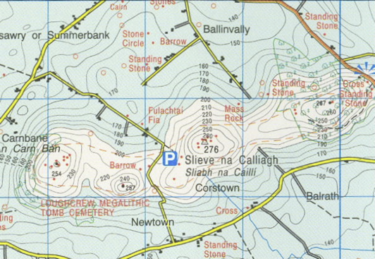
OSI Maps
Discovery Series Sheet 85
Ellen from Cork
Fantastic trail, really varied with amazing views at the top. Steep enough in parts, and if there's been much recent rain it can be very wet & mucky - so leave the converse & nikes at home and bring a good pair of walking boots!! Extremely easy to follow
Noreen from Dublin
A great walk. I did it last summer. The views of the Caha Mountains and Bantry Bay are stunning. Bring a camera.
Susan from Cork
What a great walk, a bit steep at the start, but rewarded by stunning views of Bantry Bay and Coomhola/Borlin valleys. My 7 year old walked the whole way. Took us about 2 hours.
Jess from Antrim
Really enjoyed this trail. I brought my children through the start. The twisting and turning path was great fun with lots of natural elements that we all enjoyed. The signs were clear and close together when needed, easy for an unfamiliar walker to follow. Bumpy and muddy in areas but added to the adventure and due to the nature of a hill/woods walk. A great day!
JD from Cork